How to Use Drone Technology for Real Estate Inspections and Surveys?

In the evolving world of real estate and property inspection, technology is quickly becoming a game-changer. Among the various technological tools available, drones have emerged as a leading choice for professionals in the industry. They provide an effective way to collect data, perform site inspections, and carry out surveys, especially for commercial buildings and large land tracts. This article will delve into the specifics of using drone technology in the real estate and property inspection sectors.
The Role of Drones in Real Estate
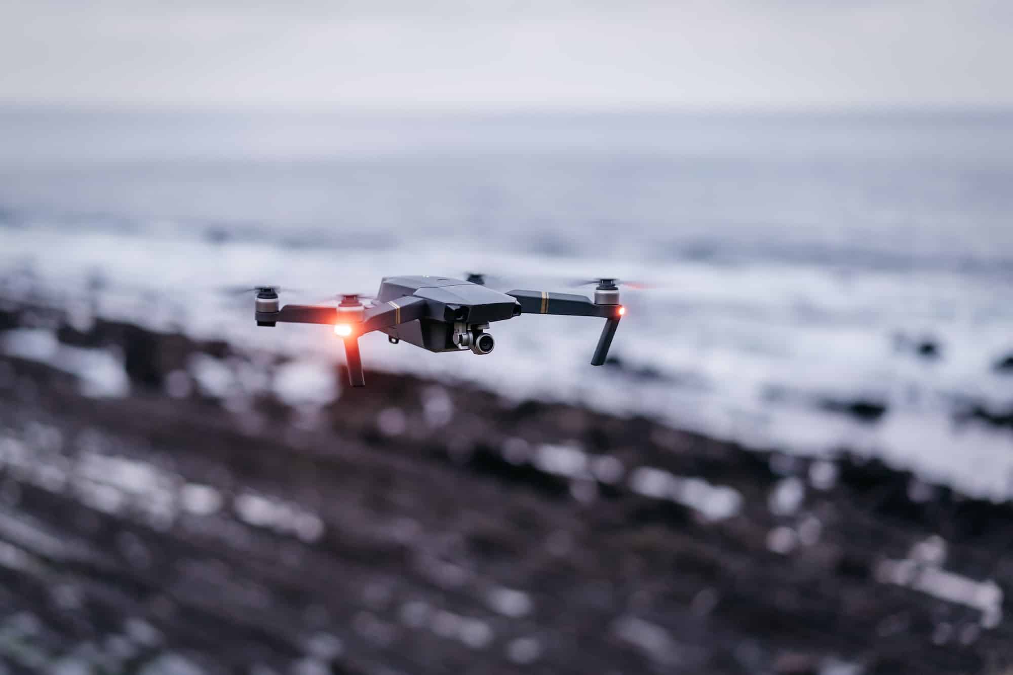
Drones, also known as Unmanned Aerial Vehicles (UAVs), are remotely controlled devices that can fly over a geographic area to capture images and videos. In the realm of real estate, drones are increasingly being used for property inspections and land surveys. They offer a cost-effective, time-efficient alternative to traditional inspection methods.
Topic to read : What Are the Best Practices for Converting Commercial Spaces into Pop-Up Retail Hubs?
Traditional property inspections involve a significant amount of time, manpower, and resources. Inspectors need to physically visit the site, take photographs, and manually document findings. This process can be particularly challenging for large commercial properties or undeveloped land tracts. However, drones can quickly survey these sites, capture high-quality aerial images, and store them for later analysis, thereby saving both time and resources.
The Application of Drone Technology in Property Inspections
Drone technology has revolutionized the way property inspections are conducted. Using drones for inspections not only speeds up the process but also makes it safer and more accurate.
Additional reading : What to expect from a meribel mottaret flat rental
The high-resolution images captured by a drone provide a birds-eye view of the property, allowing inspectors to detect issues that may not be visible from the ground level. These issues could range from roof damages in a commercial building to undulations in land that could affect construction projects. Drones equipped with thermal imaging cameras can also identify areas of heat loss in a building, indicating poor insulation or other structural issues.
Drones also eliminate the need for inspectors to physically access hazardous areas, such as steep roofs or dilapidated structures. Thus, they significantly reduce the risk of injury during inspections.
Data Collection and Analysis using Drones
In the world of real estate inspections and surveys, data is king. Accurate and timely data can enable property owners to make informed decisions about their investments. Drone technology plays a key role in collecting and analyzing this vital data.
Drones can be equipped with advanced sensors and cameras to collect a range of data, including visual, thermal, and topographical information. These devices capture high-resolution images and videos, which are then processed using specialized software to generate detailed reports.
These reports provide valuable insights about the property, such as the condition of the building, any potential damages, the topography of the land, and more. This information can help property owners to address any issues promptly, plan for future developments, and evaluate the value of their property accurately.
Drone Surveys for Site Construction
In addition to property inspections, drone technology is also instrumental in site construction surveys. Whether it’s a commercial building or a residential estate, conducting a comprehensive survey before beginning the construction process is crucial.
Drones can provide real-time images and videos of the construction site, enabling project managers to plan effectively and avoid potential issues. They can identify hazards, measure distances and elevations accurately, and provide a clear view of the site from various angles. This information can significantly enhance the efficiency of the construction process and ensure the project stays on schedule and within budget.
Moreover, drone surveys can be regularly conducted throughout the construction process to monitor progress and ensure quality control. This regular monitoring can help to identify any deviations from the plan early on, allowing for immediate corrective action.
Drones and the Future of Real Estate Inspections
The use of drones in real estate inspections and surveys is not merely a trend; it’s the future of the industry. As drone technology continues to evolve, its applications in the real estate sector are expected to grow exponentially.
Advanced features, such as 3D mapping, AI-powered image analysis, and the ability to fly in challenging weather conditions, are set to revolutionize the way property inspections and surveys are conducted.
As we move forward, drones will not only make property inspections faster, safer, and more accurate, but they will also provide the real estate industry with the tools to make more informed decisions, optimize operations, and ultimately, maximize their return on investment.
Thus, understanding and implementing drone technology is now a necessity for professionals in the real estate and property inspection sectors. It is no longer a question of ‘if’ but ‘when’ you will need to embrace this technology to stay competitive in the market.
Case Study: Implementing Drone Technology in Real Estate
To understand the impact of drone technology in the real estate sector, let’s take a look at a case study. A commercial real estate company was struggling with conducting regular inspections of their vast property portfolio. The traditional way of inspection was proving to be time-consuming and resource-intensive.
They decided to incorporate drone inspections into their regular processes. The drones, equipped with high-resolution cameras, began conducting surveys of the properties, capturing detailed images and videos. The data collected was then analyzed using specialized software, providing comprehensive reports on property conditions.
The change was immediate and apparent. The time required for inspections decreased significantly, freeing up resources for other essential tasks. The high-resolution images allowed for the detection of issues that would have missed the naked eye, leading to a decrease in the cost of maintenance and repair. Moreover, the safety of their employees was no longer compromised, as hard-to-reach and potentially dangerous areas could now be inspected by drones.
The company also used drone photography to market their properties. The aerial shots gave potential buyers a unique perspective, contributing to an increase in sales. This case study is a clear testament to the power of drone technology in revolutionizing the real estate industry.
The Regulatory Landscape for Drone Use in Real Estate
While drone technology offers immense benefits to the real estate industry, it is essential to understand the regulatory landscape surrounding its use. In many jurisdictions, the use of drones, especially for commercial purposes, is subject to various state and local laws.
Before implementing drone inspections or land surveys, real estate professionals should familiarize themselves with relevant regulations. These could include licensing requirements, restrictions on drone flight paths, and privacy laws. Violating these regulations could result in penalties and damage to the company’s reputation.
Moreover, the commercial real estate industry should also maintain a code of ethics while using drones. Respecting privacy, ensuring safety, and being transparent about drone use are crucial aspects to consider.
In conclusion, the advent of drone technology marks a significant shift in the real estate industry. While its benefits are manifold – from time and cost savings to improved safety and accuracy in inspections – it is crucial for professionals in the industry to keep abreast of the evolving regulatory landscape. With the right approach, drone technology can truly revolutionize real estate inspections and surveys, offering companies a competitive edge in the market. As with any technology, the key lies in understanding its potential and harnessing it effectively.
